The National Weather Service has updated the seriousness of approaching storm conditions, this evening, on Sunday, March 15, 2026, for northwest Illinois. Difficult travel conditions are expected. Travel should be restricted to emergencies only.
What has changed? Snow transition time has sped up. Snow amounts have increased by one-to-three inches. Lowered visibility and slippery conditions increase driving dangers.
The next scheduled update by National Oceanic and Atmospheric Administration will be at 4:00 a.m., Monday, March 16.
• A significant winter storm is on track to bring accumulating snow, strong winds, and blizzard conditions this evening, through Monday, March 16.
• Strong northwest winds, gusting from 40-to-60 miles per hour, are expected through Monday morning.
• A Blizzard Warning for dangerous travel conditions will go into effect for most of the area this evening and continue until Monday morning.
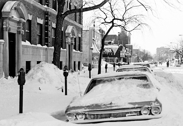
Photo: earlier Chicago, IL, suburb blizzard.